


Did you know that in the 1930s, the Warringah Council proposed to use an existing pedestrian tunnel in Queenscliff, which has been called the Wormhole, to ease traffic flow in the Northern Beaches? It seems timely to bring this history to light as plans to build a new road tunnel has been a subject of much debate today.
The said proposal would have made travelling easier from Queenscliff Bridge to Freshwater Beach, and then along Curl Curl via Carrington Parade and Griffin Road, and then towards North Curl Curl and Dee Why. The tunnel would have also crossed Griffith Park towards Pittwater Road in Collaroy.
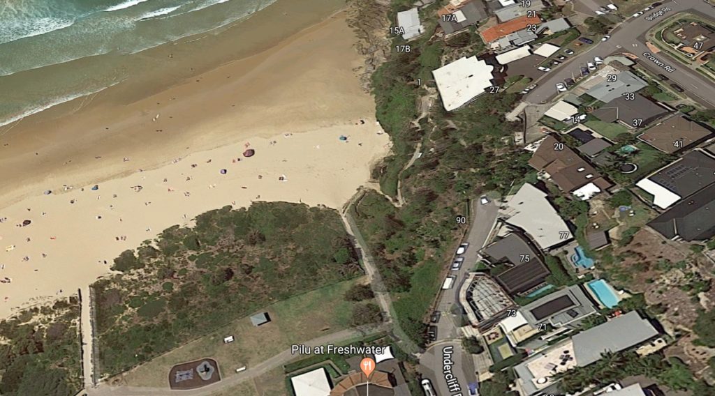
The completed tunnel would have turned up on Queenscliff Head near the Freshwater Reserve.
This plan, however, was scrapped for various reasons including the cost to build the said tunnel. The Council thought that the money would be better used to improve existing roads instead of digging a tunnel that would impact the landscape.
The only thing that pushed through with the plans was the construction of the bridge over Curl Curl Lagoon that connected North Curl Curl to Curl Curl.
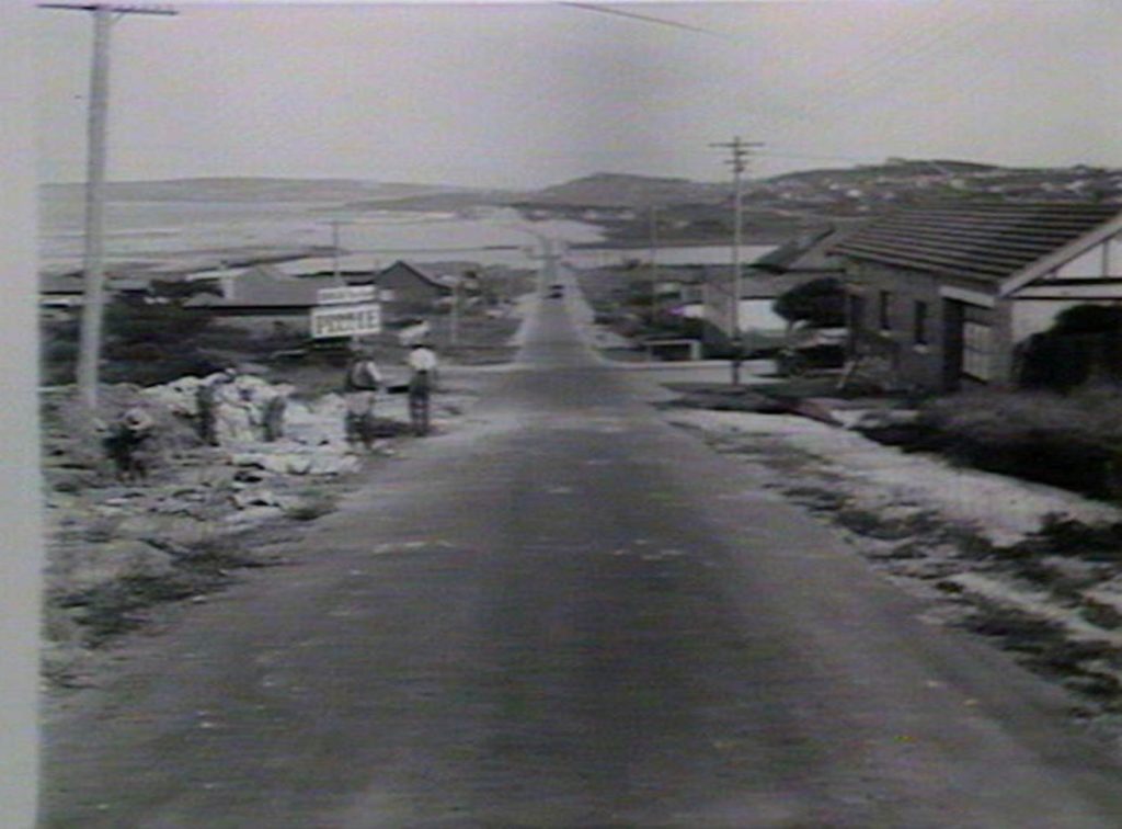
Photo Credit: New South Wales State Library
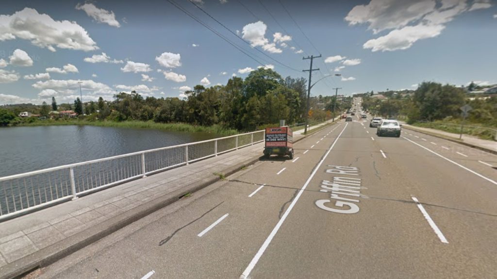
Photo Credit: Google Maps
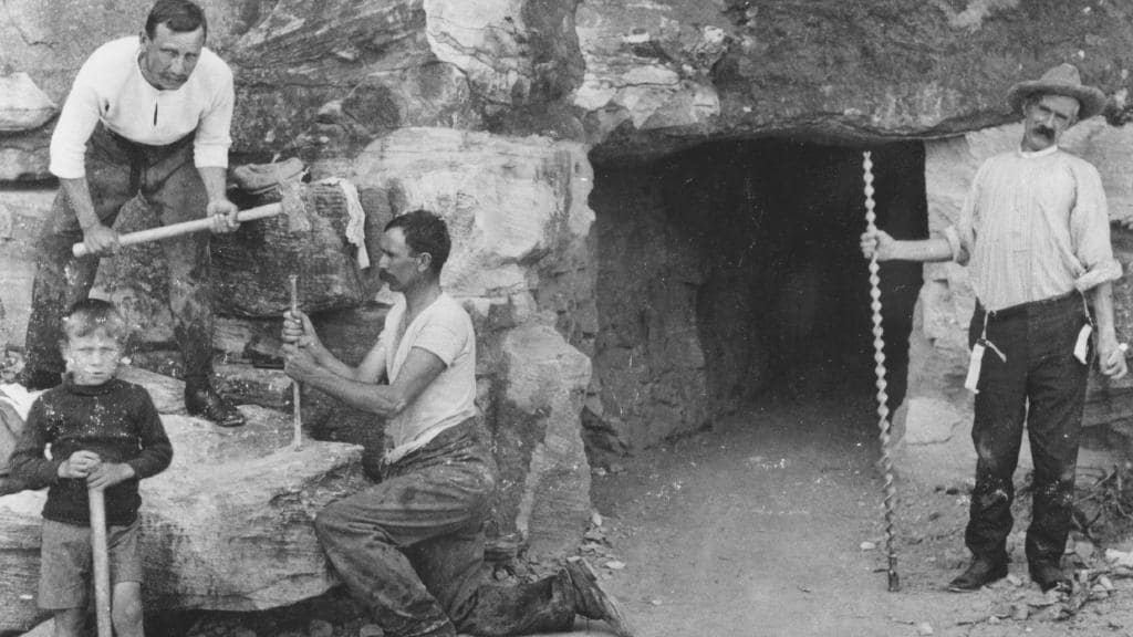
In 1908, Robert David Lewers and his son Jack built a 25-millimetre pedestrian tunnel that was accessed from the Queenscliff headland going to Freshwater. And while this was not turned into a road tunnel that the Council originally wanted, the access has become a tourist and exploration destination for the adventurous.
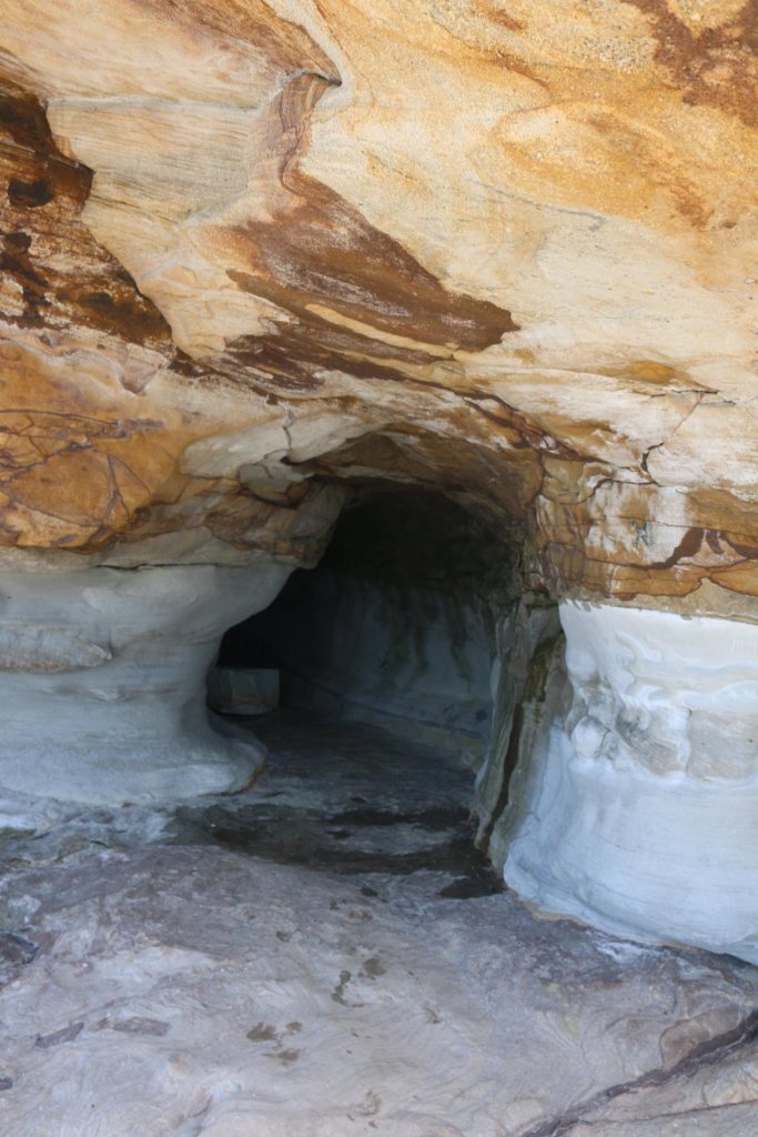
Photo Credit: Brett Miller/Old Sydney Album/Facebook